
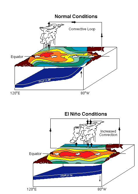
Much can be found in the way of El Niño and its impacts, both ecologically and
economically, but there is little to be found relating this powerful phenomenon
and the way it indirectly affects the operations of our Navy.
Nonetheless, the accompanying sea temperatures, wave heights, and atmospheric
changes are certain to play a role in these operations.
The most obvious of these changes that we see here on the continental United
States are abnormal precipitation patterns during an El Niño event. The same
can be said over the entire breadth of the Pacific Ocean. One fantastic
depiction of how the El Niño has altered the frequencies and locations of
Pacific tropical storms is depicted by the University of Washington,
in the charts below of storm tracks.
Thus far, the operational effect that El Niño has had on the
Navy has been minimal, but the potential effect is great.
The Navy's
Pacific Meteorology and Oceanography
Center and
Meteorology
Detachment, both in Pearl
Harbor, Hawaii,
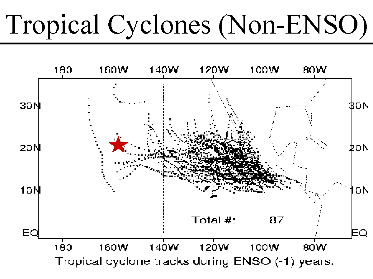
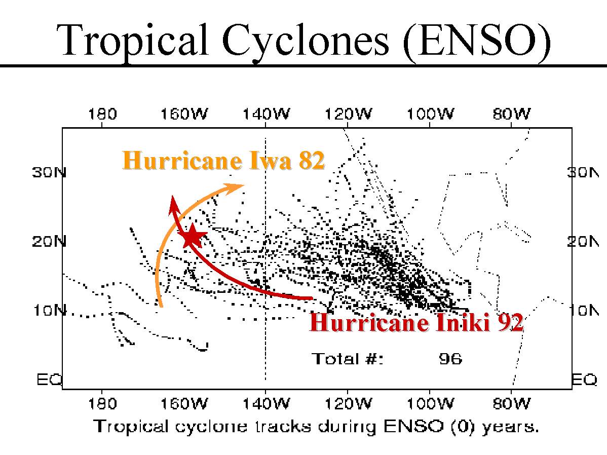
must pay special note to this transitioning tropical storm pattern. Seen here
are La Niña tropical cyclone tracks and El Niño tropical cyclone tracks
produced by the center in Pearl Harbor. These slides depict the changes that
can result from an El Niño event. The
awareness of such changes better allows the center to inform ships at sea of
the impending dangers to safe passage that such anomalies can create.
One major thing that the most recent El Niño phenomenon has
affected is the potential strength and extent of Eastern
Pacific tropical cyclones. The large warm water pool in the
EASTPAC allows tropical cyclones to move into areas they
normally would not (e.g. Hawaii, and most EASTPAC Navy
transiting lanes).
The tropical cyclone season also seems to be extended due to El
Niño. There have not been any "El Niño" tropical cyclones as of yet, but the
Optimum Track Ship Routing (OTSR) and meteorological support for transiting
ships in the EASTPAC is at a very high level.
The change in storm paths and frequencies is not isolated simply to the
Pacific Basin as you probably know. Both the Atlantic and Pacific basins
show variations in storm frequencies and paths in relation to the El Nino
phenomenon. The Atlantic experiences fewer
hurricanes during El Niño years than are normally (right map) experienced
in La Niña years.
Another effect that El Niño has is that the
shifted warm pool
into the EASTPAC
affects ocean thermal fronts and eddies, which changes the Undersea Warfare
(USW) tactics in the EASTPAC. The data on this effect is, no doubt,
classified. However, submarines, whose "eyes" are located in the sonar room,
are affected by the altered water temperatures and perhaps changed salinity
properties as well. With sound traveling faster in warmer water than colder
water and refraction increasing with increased temperature, the Undersea
Warfare picture for the Navy is altered.
The potential effect on aircraft operations could be great during an El Niño
event. Because the Pacific transiting lanes are affected by altered storm
tracks, search and rescue operations along these routes are made increasingly
dangerous. Sonar detection by sonobuoys dropped by aircraft could be made more
difficult by the background noise of storms, or altered by the changed water
temperatures and salinities.
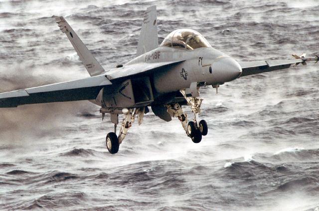
In addition, El Niño-induced storms could potentially wreak havoc on
aircraft attempting to land at sea. As seen in the image to the right above,
an F-18 attempts to land on the rolling deck of an aircraft carrier.
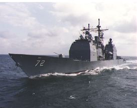
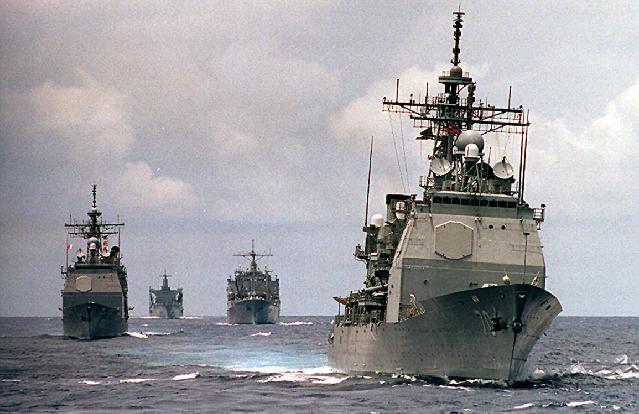
El Niño's potential effects on the surface Navy
El Niño's potential effects on the Naval Submarine force

 Sonar room onboard a Navy submarine
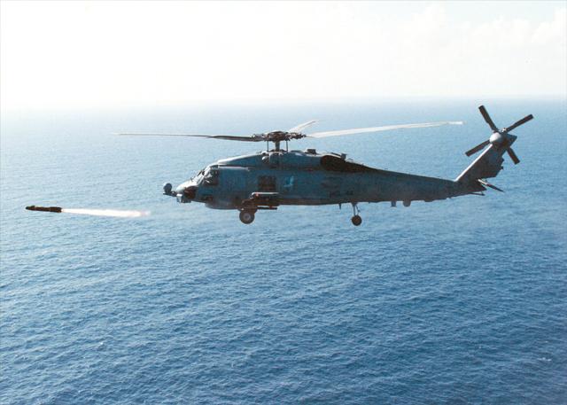
El Niño's potential effects on Naval Aviation
