Naval Postgraduate School OC3902
FUNDAMENTALS OF MAPPING, CHARTING,
AND GEODESY
Lab 6: ArcGIS Project
This
Lab creates the map for the OC3570
summer 2004 CTD measurements.
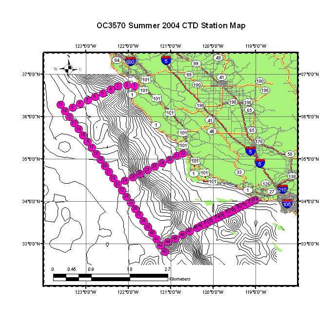
This map includes
three map levels: Topography contour lines, CTD station map and
The Topography and CTD
station data will be x-y data and can be copied from \\lrcapps\common$\OC3902\FY09QTr1\\lab6_ArcView_Project.
The
Make the CTD station map as nice as you can.
Save as JPEG file (from export
map) and email to fan@nps.edu.
(Back to "Labs
List" page.)
Last Updated 29 Sep. 2008
POC: Peter Chu