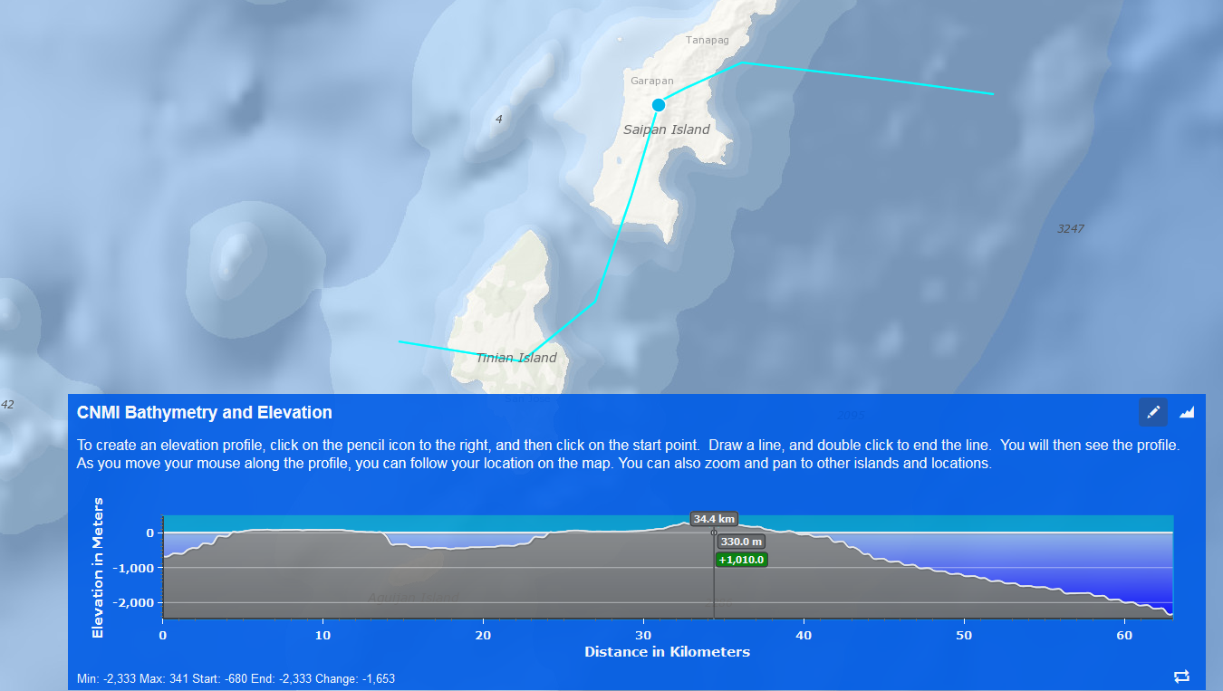
Description:This interactive web app lets users explore the bathymetry and elevation of CNMI and surrounding ocean areas. To obtain a profile of a track, click the pencil icon and then click points on the map. Double click to end your trackline. Then as you move your mouse along the profile, you can follow your location on the map.
Credits: Digital elevation data provided by ESRI.