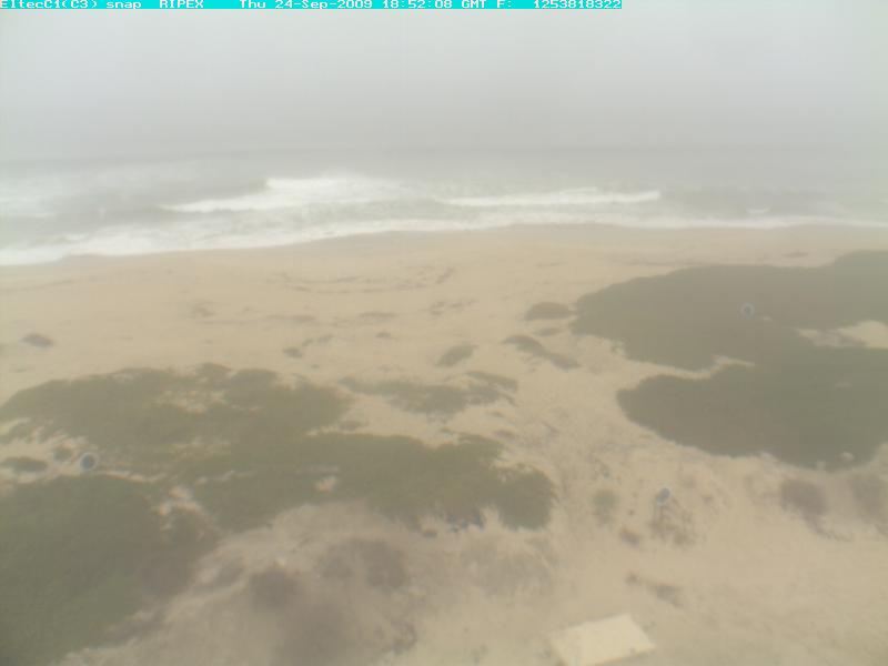
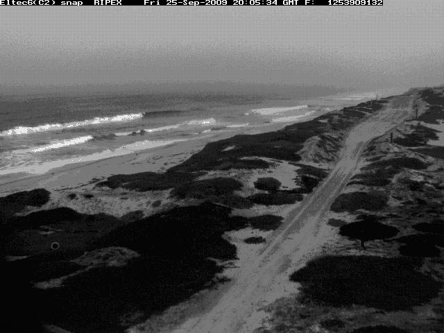
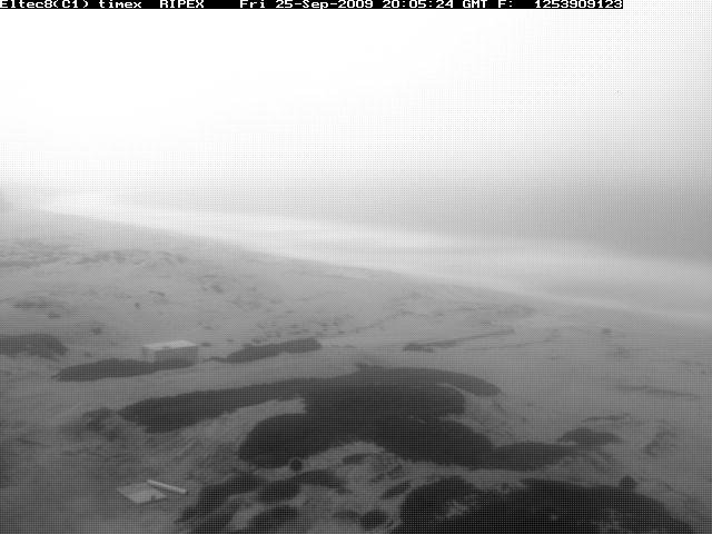
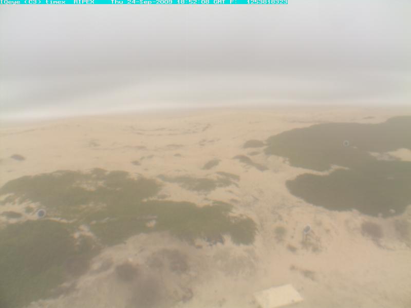
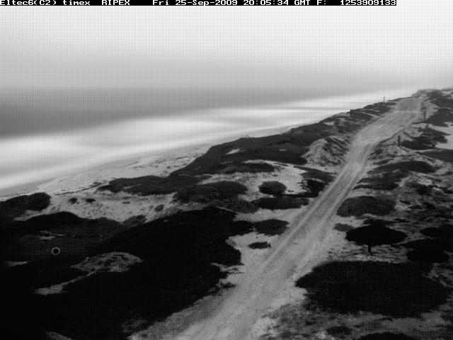
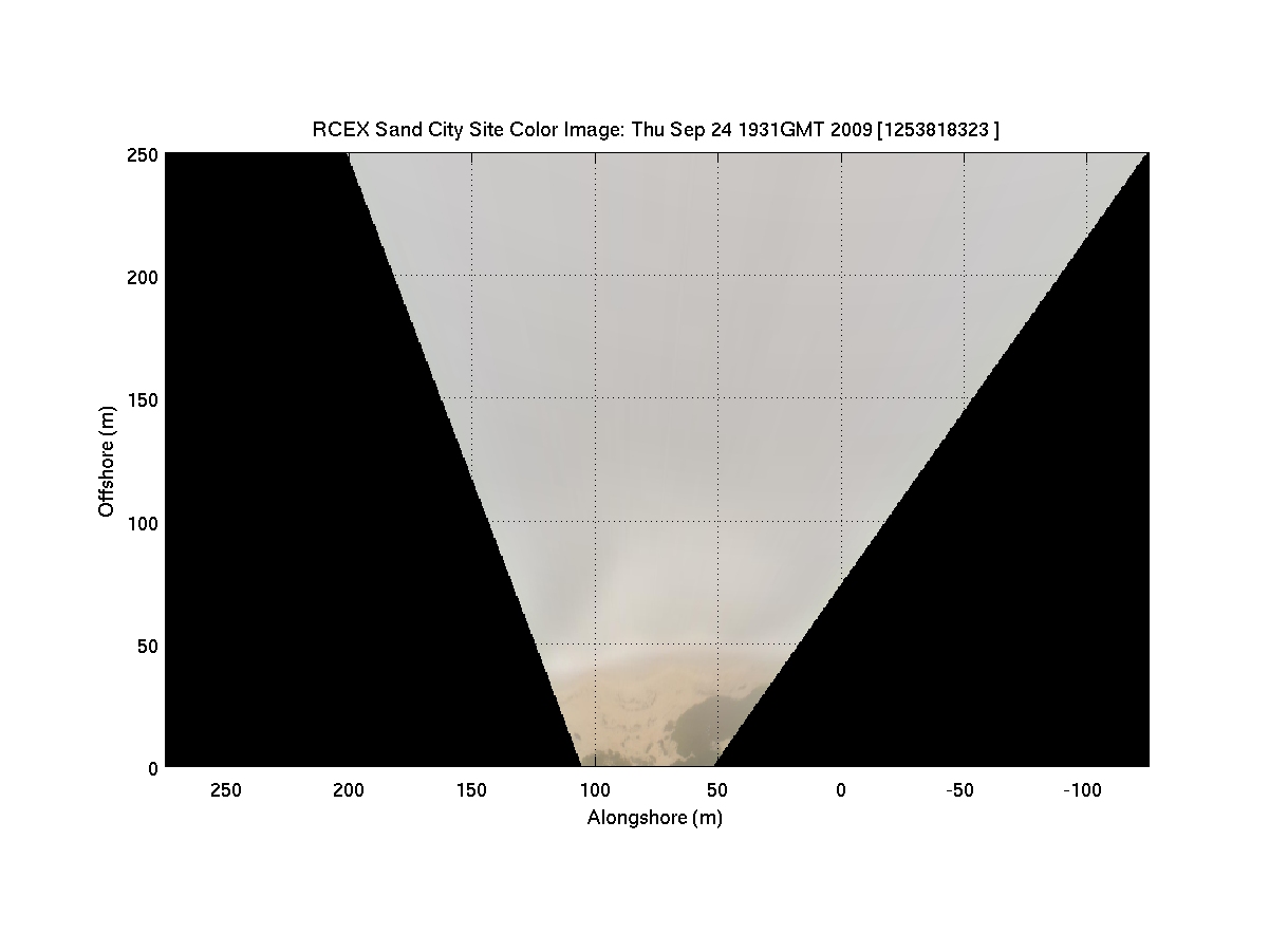
Sand City Cameras
These two cameras provide hourly snapshot and timex images of the surf zone northward and
southward from Sand City, CA. They are elevated approximately 18.7 meters off
the ground on a tower located within the grounds of the Monterey Regional
Water Polution Control Agency's Wastewater Treatment Plant along Del Monte Beach.
(Click on any image to see full size version)
Snapshot Images from Sand City Cameras
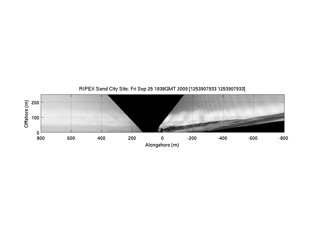
Timex Images from Sand City Cameras
Rectified Timexes from Sand City Cameras
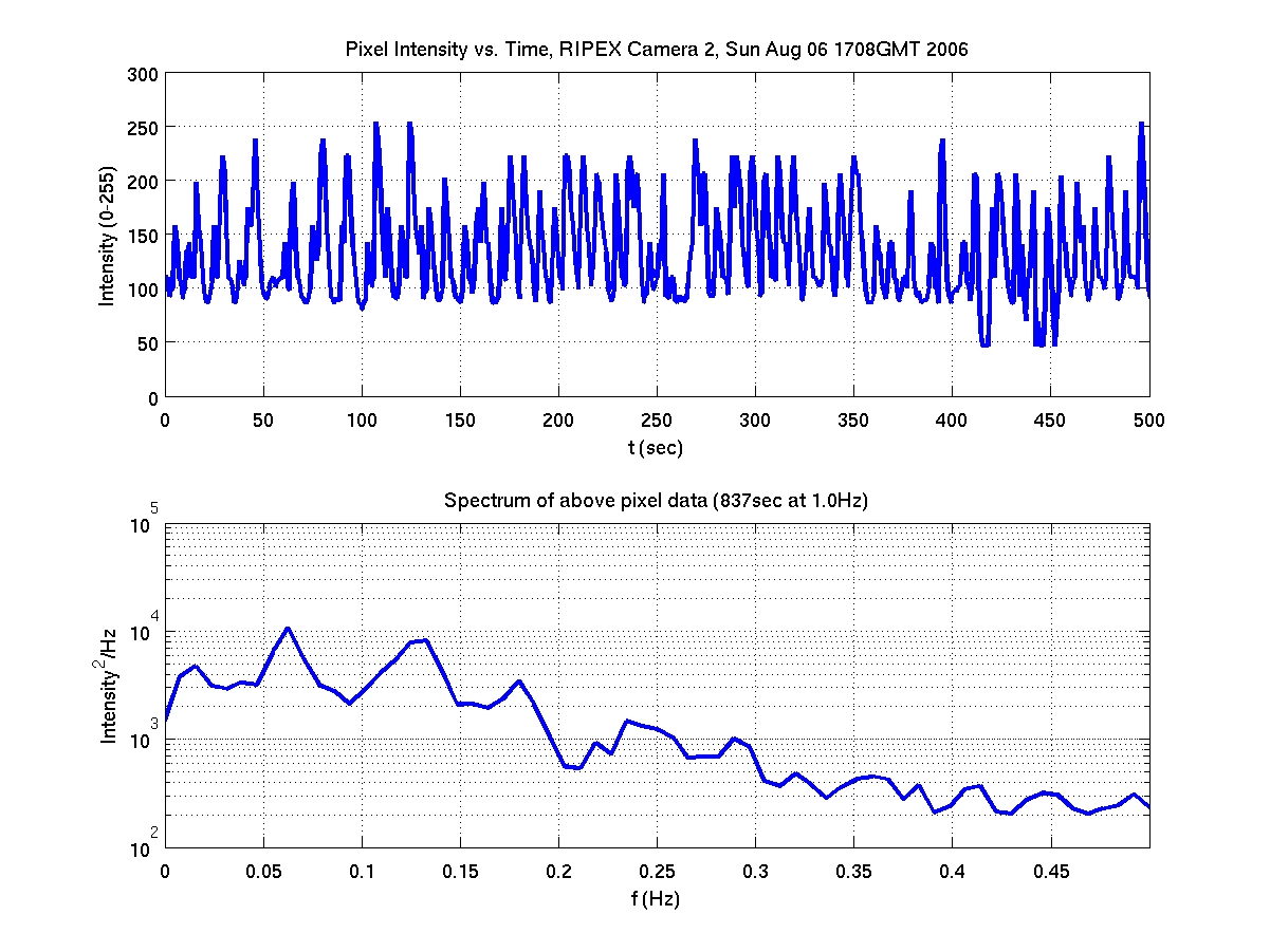
Sample Pixel Time Series Data
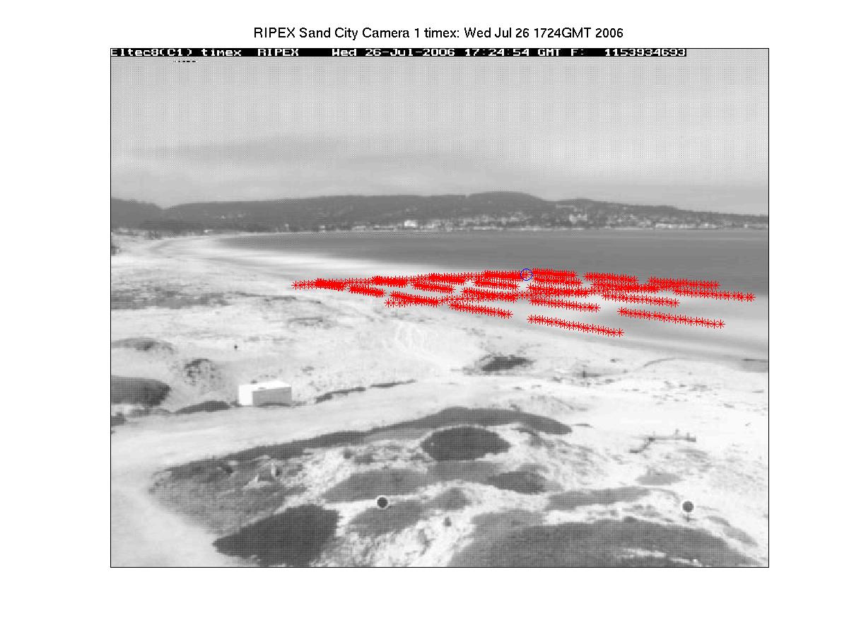
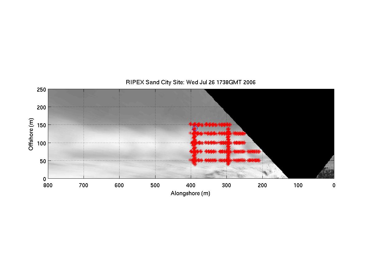
Pixel Locations in Camera Images
These data were retrieved from a single pixel location, near the shoreline,
in each camera image. Pixel intensities were stored at the rate noted
above each spectral plot. When conditions warrant, time series of this type are
stored from multiple locations as shown in the sample images below. Such data
sets can be used to estimate surface flow velocities and calculate frequency
directional spectra of the waves. Below, the individual pixel
storage points are marked as red asterisks, with each above-plotted location
also circled in blue.
Last Reviewed: March 2005
stanton@nps.edu
Disclaimer
Privacy and Security Notice
Disclaimer for External Links
Material contained herein is made available for the purpose of
peer review and discussion and does not necessarily reflect the the
views of the Department of the Navy or the Department of Defense.
Data Disclaimer
Back