Some Maps Types and Uses
Because most of the images for this page are large, they are given on this page as thumbnails. Click on the thumbnail to load the full sized image.
Can I just use a map to find the location ?
Well, that depends. How accurately do you need the position and most importantly, what kind of a map is it ?
What kinds of maps are there?
Most people are most familiar with a highway maps.
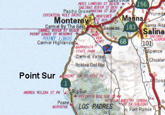
These can be used to find distances, but only at an accuracy of a mile or so on state maps and probably to a few hundred meters on small area maps. In addition some things are moved. If you have a major highway - it will be a broad line. A things near it will have to be moved to be seen. The relative relation of items is kept the same. The purpose is to help the driver, not read coordinates.
Often a highway map doesn't even have latitude an longitude. The edges
are usually labeled with numbers along one direction and letters along
the other. So if you look in the gazetteer (index) on the map, you might
find that a location is at P11 - meaning in the box with vertical label
"P" and horizontal label "11".
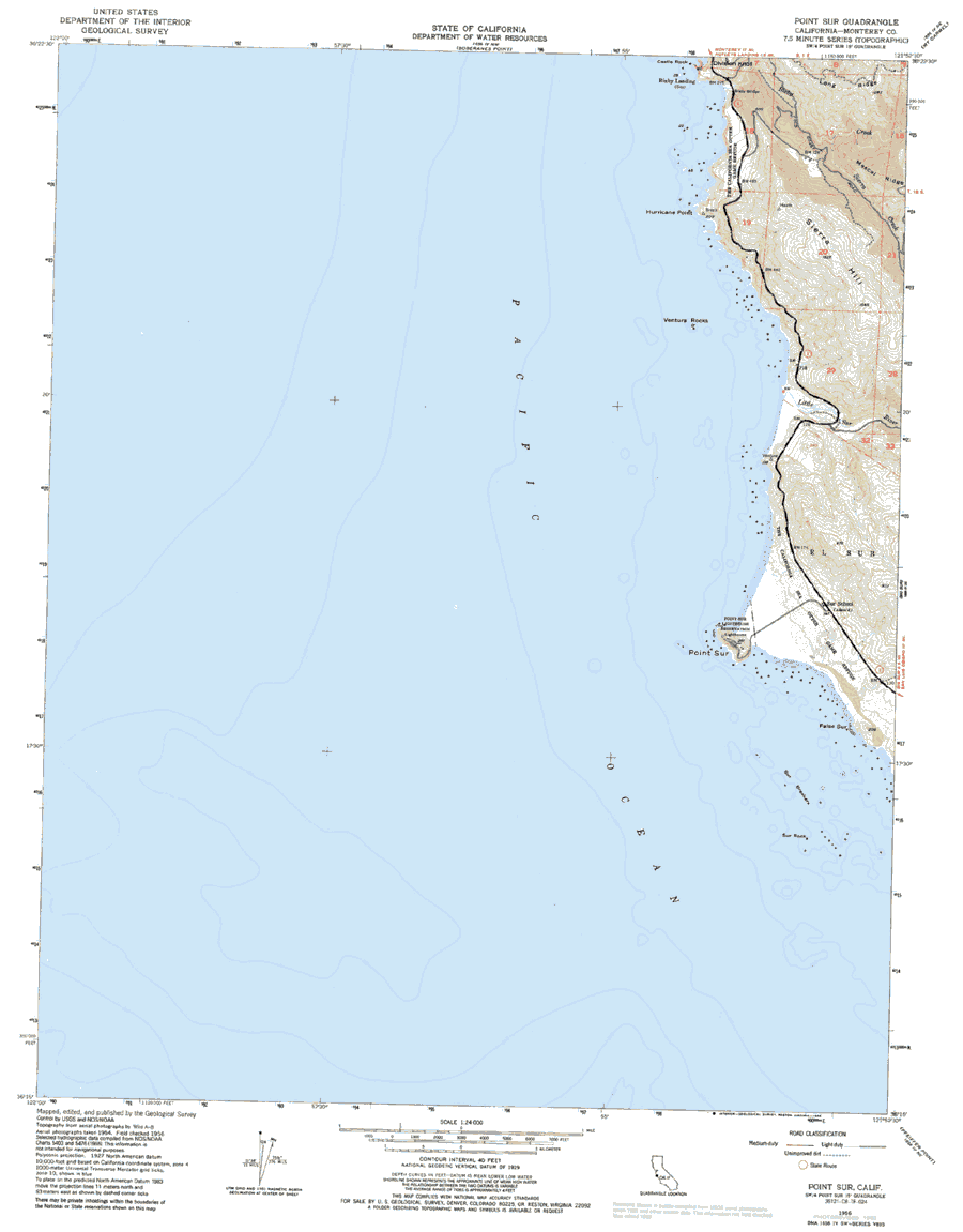
The next most common map is the topographic map.
This is commonly used for hiking and camping. The topographic map is much more accurate. It is designed for finding position coordinates as well as showing the relative positions of things.
It still may have a few items moved to allow symbols not to overlap. They will use standardized symbols for buildings, water tanks etc.
So you cannot estimate the size of some from the symbol size. On very small area maps, some buildings are represented by their true shape thought.
On these maps heights are represented by contour lines. These are lines of constant height. The lines usually are at some fixed height spacing, such as 20 feet (about 6 meters ).
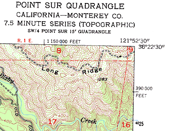
The edges usually have the latitude and longitude of the corners marked. In addition, as some fixed interval, there will be tics and labels for other latitudes and longitudes. There are also some "funny" numbers on the edge with large and small printing. These are UTM (Universal Transverse Mercator) coordinates. But that is another topic.
The accuracy of these maps is about 1 mm ( about 1/25 th of an inch)
on the paper. To find out what this means on the ground, you have to multiply
by the scale factor. If the scale is 1:24,000 (read one to twenty four
thousand), the accuracy will be 1 mm x 24,000 or 24 meters.
There are two other common "maps" in use that you might find. One is used for boating navigation and is usually called a "chart". The other is used for aircraft navigation.
A navigation chart has the land-water boundary but usually little detail inland.
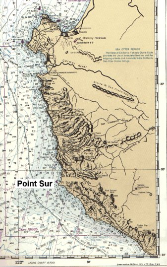
Depths are usually contoured. The key navigation points, such as light houses are always shown. There is an easily readable scale of latitude and longitude on the edges.
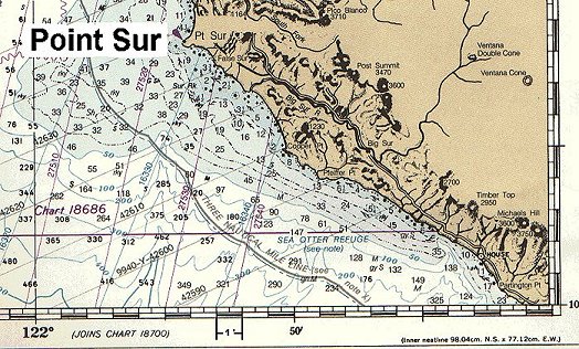
Again the rule of thumb is 1 mm on the map is as good as you can assume
for accuracy.
The aeronautical chart also has easily readable latitudes and longitudes.
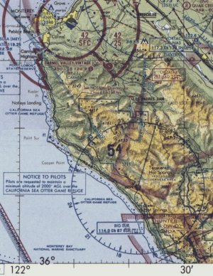
The
lines for these extend from edge to edge to make it easier for a pilot
to read. But the area covered is usually quite large because of the speed
and range of aircraft. And there are big symbols for airports and other
important facts for the pilot. Heights are suggested with pictorial shading.
Key heights, such as mountain peaks are given as numbers.
|
|
||||
|
|
|
|
|
|